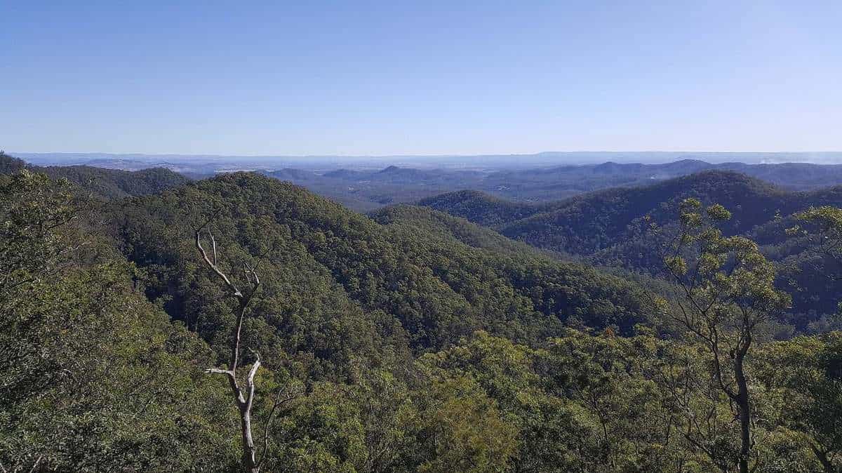
Mount Glorious feels much further from Brisbane than it really is. Leave the suburbs at The Gap, and within the hour the road has climbed through eucalypt forest, past lookouts over Moreton Bay and into cool subtropical rainforest where strangler figs rise through the canopy and mist drifts across the road. At the top sits a scattered village of a few hundred people, wrapped on every side by D'Aguilar National Park.
This independent guide helps you plan a visit, whether you want an easy rainforest stroll and a long lunch, a morning of birdwatching, a waterfall walk or a full day's drive down to Lake Wivenhoe.
41 km
From Brisbane CBD
By road, north-west
1930
First national park
On the D'Aguilar Range
240+
Bird species
Recorded in the park
Why visit Mount Glorious?
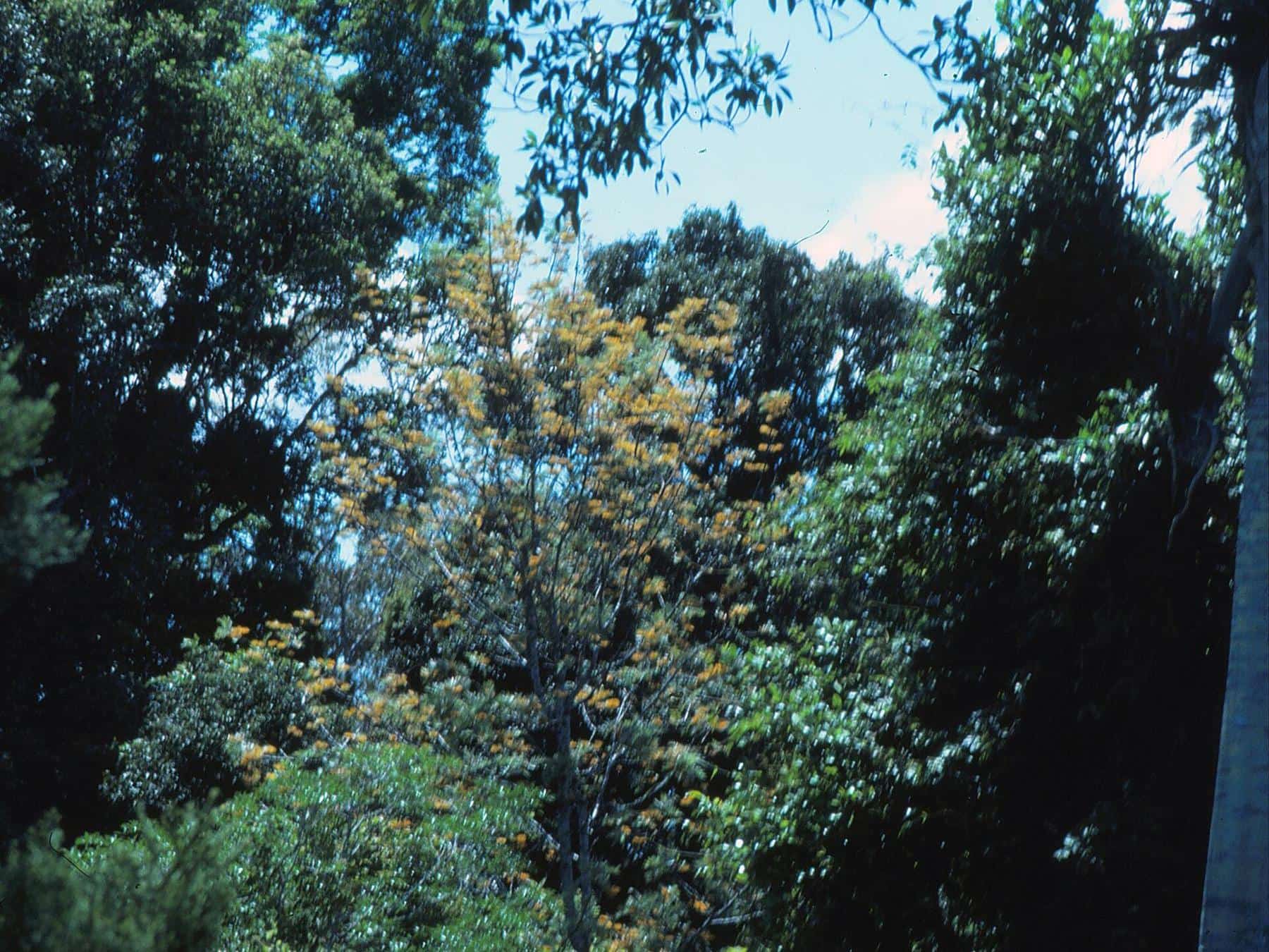
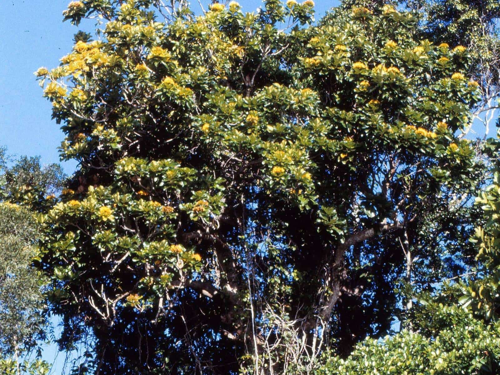
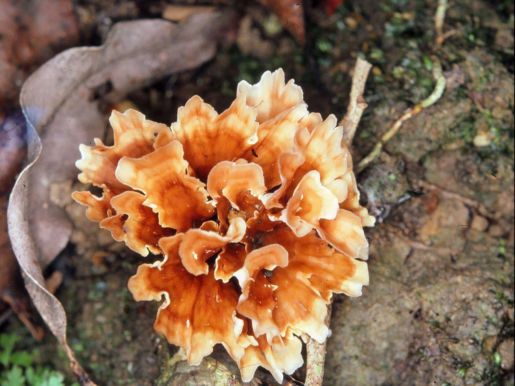
The rainforest. The highest parts of the D'Aguilar Range catch far more rain than the foothills, and around Mount Glorious that rain falls on rich basalt soils. The result is moist subtropical rainforest of a kind you would not expect so close to a capital city: giant strangler figs, palms, vines, ferns and fungi, with clear creeks running through gullies. The five walking tracks at Maiala, on the edge of the village, are the easiest way in.
The birds and wildlife. More than 240 bird species have been recorded in D'Aguilar National Park, including the noisy pitta, regent and satin bowerbirds, paradise riflebird and southern logrunner. Red-necked pademelons graze at the forest edge at dusk, land mullets bask beside picnic areas, and the creeks shelter the Mount Glorious spiny crayfish, found only in this area. Our birds guide and wildlife guide explain what to look for.
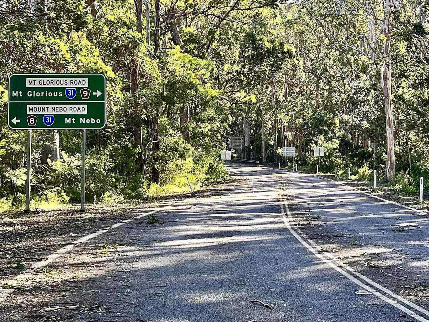
The drive. Mount Nebo Road, signed as tourist route 8, winds up from The Gap through the national park to Mount Nebo and Mount Glorious, passing Walkabout Creek, Jollys Lookout and several trailheads. Beyond the village, the Northbrook Parkway drops down the western side of the range to Lake Wivenhoe. It is a classic day out by car, and a well-known ride for cyclists and motorcyclists, which means care is needed on every bend.
The cool. At around 600 metres above sea level, the village is noticeably cooler than Brisbane. The local community association describes the micro-climate as generally about six degrees cooler, which makes it a welcome escape in summer and a cosy one in winter, when fires are lit and mist settles in.
Getting your bearings
Mount Glorious is both a mountain and a rural locality in the City of Moreton Bay. The locality runs along Mount Glorious Road and includes three named peaks: Mount Samson at 690 metres, Mount D'Aguilar at 742 metres and Mount Glorious itself at 619 metres. Mount Nebo, the neighbouring village, sits a few kilometres to the south on the way up from Brisbane.
Most of what visitors come for is in the national park rather than the village. The key places are:
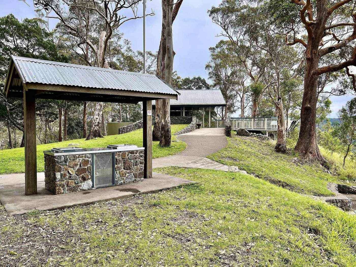
- Maiala, a day-use area on the north-west edge of the village, with picnic tables, barbecues, toilets and five walking tracks, including the Rainforest circuit and Greenes Falls.
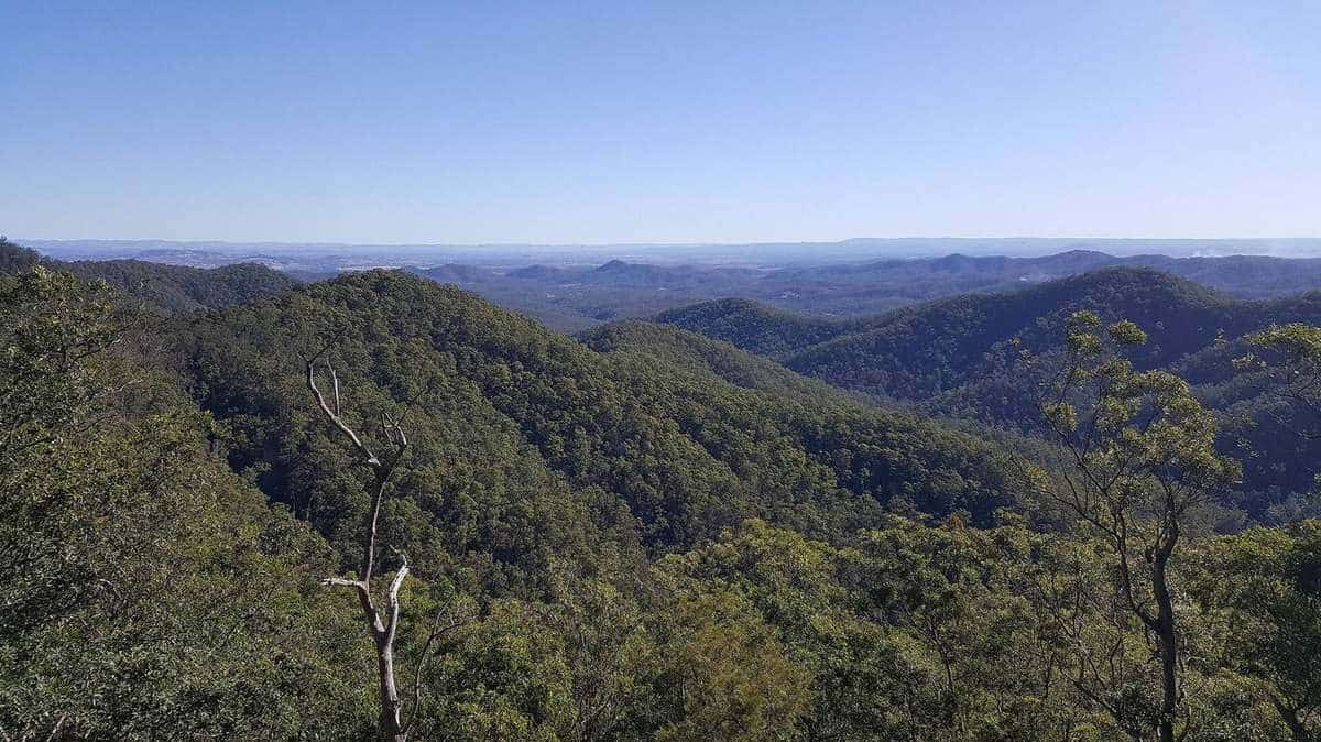
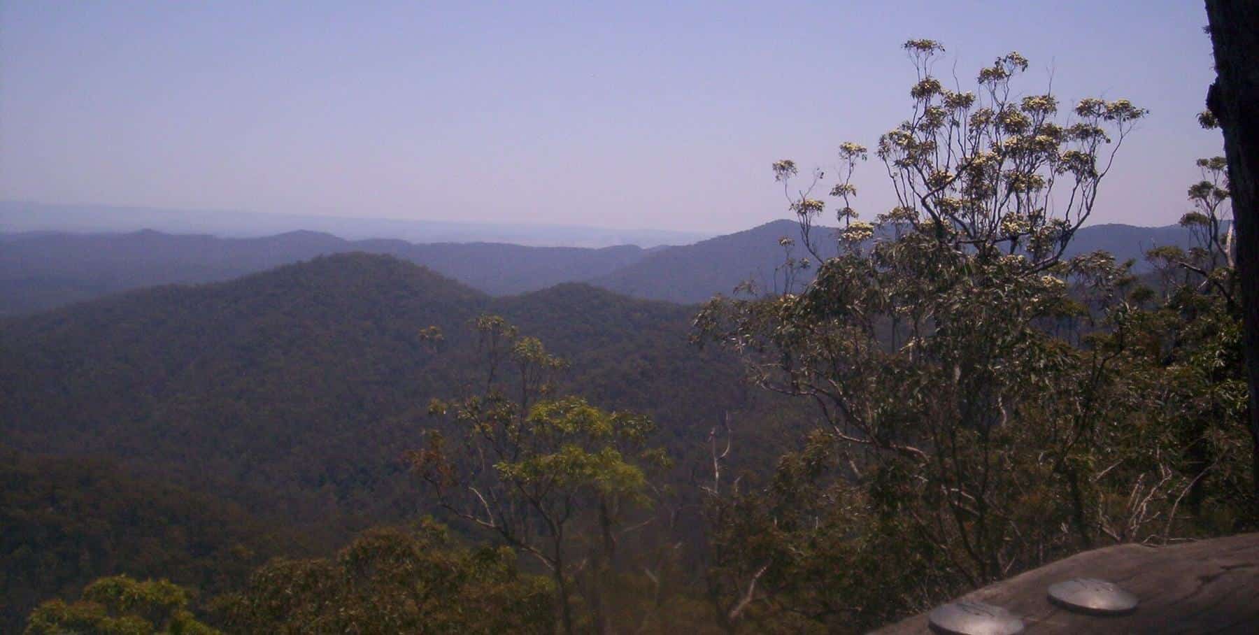
- Westridge Outlook, a boardwalk around a rocky outcrop with views across the ranges and plains to the west.
- Wivenhoe Outlook, with views over Lake Wivenhoe and beyond.
- Jollys Lookout and Boombana on Mount Nebo Road, on the drive up from The Gap.
- Walkabout Creek Discovery Centre at the southern gateway of the park, with a visitor centre, wildlife centre and cafe.
Our three hubs group the guides by what you want to do: walks and nature, the drive, and the village and surrounds.
A short history
The D'Aguilar Range was named by the explorer Sir Thomas Mitchell in 1827, after Sir George Charles d'Aguilar. It is Country of great significance to the Jinibara and Turrbal peoples, whose sacred sites in the range include bora rings, artefact scatters, dreaming trails and traditional pathways.
Farmers and timber-getters reached the range in the 1840s. Red cedar and hoop pine were felled and hauled down to build Brisbane, and notched stumps cut for springboard platforms can still be seen in the forest. Maiala itself was the site of a sawmill in the 1860s. On Mount Glorious, the first block of land was bought by James O'Hara in 1903, and the mountain got its name from a picnic in 1915.
Conservation followed. The first national park on the range was gazetted in 1930, and a reserve at Mount Glorious became Maiala National Park in 1938. Brisbane Forest Park was created in 1977, and in 2009 the forests were brought together as D'Aguilar National Park. Read more in our Mount Glorious history guide.
Planning your visit
A few things are worth knowing before you set off:
- Supplies. The community association notes that the village has a cafe, a restaurant and a community hall, but no shops, post office, fuel or ATM. Fill the tank and bring what you need.
- Phones. Mobile reception on the mountain is variable. Download maps before you leave, and tell someone your plans if you are walking a longer track.
- Weather. Thick mist can roll in at any time of year, and the mountain can be several degrees cooler than the city. Bring a warm layer, and drive with headlights on in fog.
- The road. Mount Nebo Road and Mount Glorious Road are sealed but narrow and winding, with cyclists, motorcyclists and wildlife. Allow plenty of time and use low gears on the descent.
- The park rules. Pets are not allowed in the national park. There are no bins, so take all rubbish home, and do not feed the wildlife.
- Alerts. Tracks and day-use areas can close after storms or for maintenance. Check the Queensland Parks and Wildlife Service park alerts before you go.
Our planning guide covers when to go, what to pack and how to make a day of it.
Ideas for a day on the mountain
An easy half day. Drive up Mount Nebo Road, stopping at Jollys Lookout for the view. Walk the 2 kilometre Rainforest circuit at Maiala, then enjoy a picnic or lunch in the village before heading back via Samford.
A walker's day. Start early at Maiala with the Greenes Falls track, add the Cypress Grove circuit on the way back, and finish at Westridge Outlook for the afternoon light over the ranges.
A birder's morning. Arrive at first light, when the forest is busiest, and walk the Rainforest circuit slowly, listening for the whistled calls of the noisy pitta. Bring binoculars and patience.
The grand loop. Drive up from The Gap, continue over the range on the Northbrook Parkway to Lake Wivenhoe, then return to Brisbane via the Brisbane Valley Highway or back over the mountain to Samford.
Not sure which track to choose? Try our walk finder below.
About this guide
MountGlorious.com.au is an independent guide written from official sources, chiefly the Queensland Parks and Wildlife Service, the City of Moreton Bay and Seqwater, along with reputable references. We are not connected with any government agency, community group or business, and we are not connected with the previous operator of this domain. Track distances, times and grades on this site come from the official QPWS walking tables. If you spot something out of date, please let us know.